I loved maps when I was a kid. I still do.
I love maps as well. You saw the maps I made?
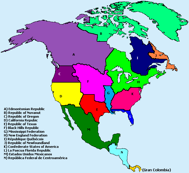
They are of course tweaked from allready existing maps, but still with some level of accuracy

Naturally, they are in no way represntative of anything optimal.

^
Interestingly, soon after I made this map, I was made aware of the independence declaration (lol) of the Lakotah Republic, which claims are eerily similar to my "Black Hills Republic"

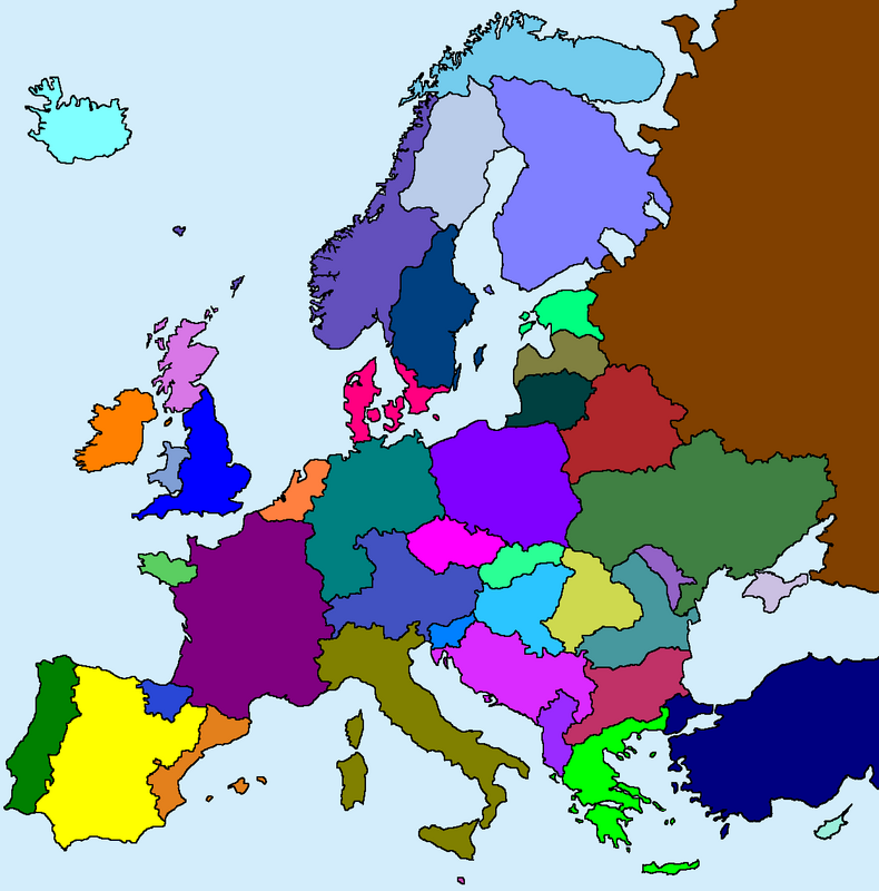
Sorry Sweden :'D more-than-obviously, this map leaves a LOT to be desired.

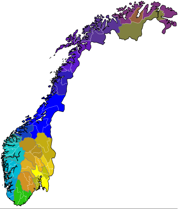
Ethnolinguistics of Norway. Unity is an illusion, and I was curious how further "sub-nations" would appear. Based on dialects and historical migration and flow. It also leaves many details to be fixed. The main "families" are dark blue to purple shades (trønder), light blue (western), green (agder), yellow-orange (eastern) and brown (saami)